


National Remote Sensing Centre (NRSC), Indian Space Research Organisation (ISRO), Hyderabad as one of the implementing agencies under the National Hydrology Project (NHP), is carrying out hydrological studies using satellite data and geospatial techniques.
As a part of the responsibilities entrusted to NRSC under NHP, detailed glacial lake inventory, prioritisation for Glacial Lake Outburst Flood (GLOF) risk, and simulation of GLOF for selected lakes have been taken up for all the catchments of Indian Himalayan rivers.
Under this activity, updated inventories of glacial lakes using high resolution satellite data was prepared for the Indus and Ganga River basins and published in December 2020, and January, 2021 respectively. As part of this initiative, an updated inventory of glacial lakes has been prepared for the Brahmaputra River basin also.
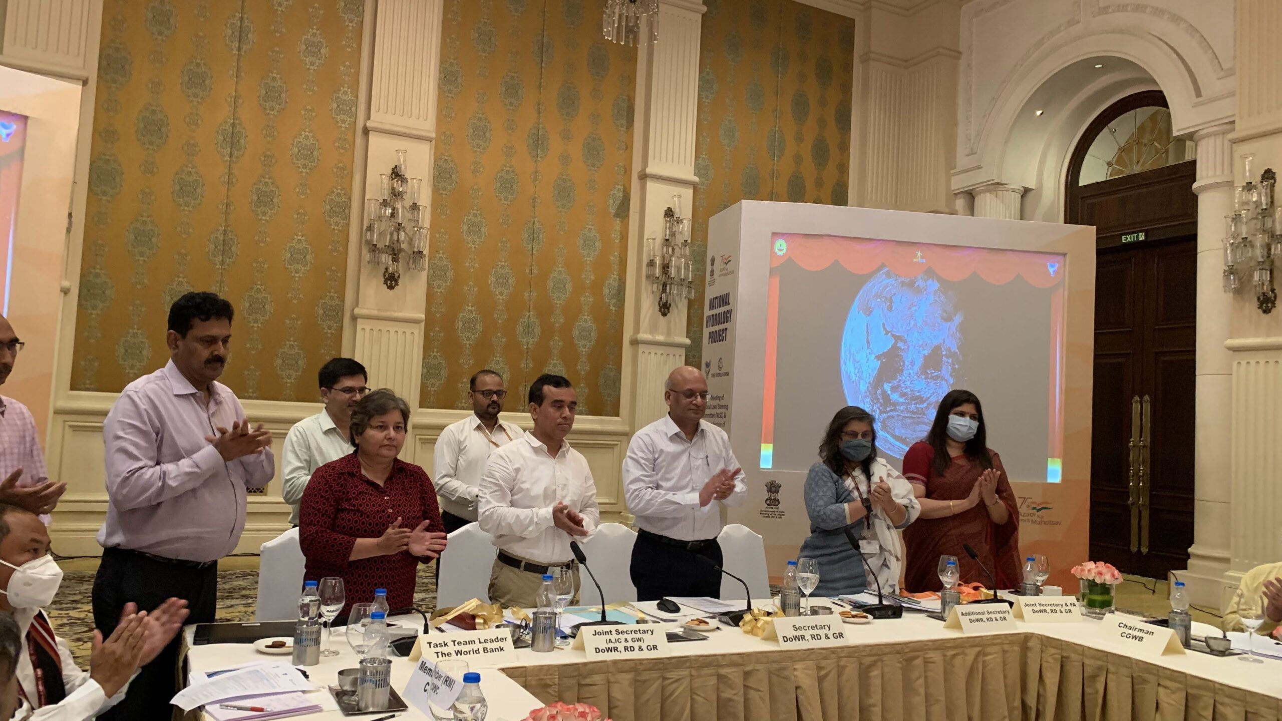
The Glacial Lake Atlas of Brahmaputra Basin along with HUMID Platform was released by Pankaj Kumar, Secretary, DOWR, RD & GR in the virtual presence of Dr. Shantanu Bhatwadekar, Scientific Secretary, ISRO; Dr. Prakash Chauhan, Director, NRSC and other senior officers of DOWR, RD & GR, NRSC and State Government authorities on the sidelines of the 4th National Level Steering Committee (NLSC) of NHP on June 29, 2021.
The present glacial lake atlas is based on the inventoried glacial lakes in part of Brahmaputra River basin from its origin to foothills of Himalayas covering a catchment area of 3,99,833 Km2. The study portion of Brahmaputra River basin covers part of India and transboundary region.
In the present study, glacial lakes with water spread area greater than 0.25 ha have been mapped using Resourcesat-2 (RS-2) Linear Imaging Self Scanning Sensor-IV (LISS-IV) satellite data using visual interpretation techniques. Based on its process of lake formation, location, and type of damming material, glacial lakes are identified in nine different types, majorly grouped into four categories.
A total of 17,999 glacial lakes have been mapped in the Brahmaputra River basin using a total of 187 high resolution multispectral RS-2 LISS-IV images, with a total lake water spread area of 92,984.43 ha.
The expected utility of the atlas is:
- The atlas provides a comprehensive and systematic glacial lake database for Brahmaputra River basin with size >25 ha.
- In the context of climate change impact analysis, the atlas can be used as reference data for carrying out change analysis, both with respect to historical and future time periods.
- The atlas also provides authentic database for regular or periodic monitoring changes in spatial extent (expansion/shrinkage), and formation of new lakes.
- The atlas can also be used in conjunction with glacier information for their retreat and climate impact studies.
- The information on glacial lakes like their type, hydrological, topographical, and associated glaciers are useful in identifying the potential critical glacial lakes and consequent GLOF risk.
- Central and State Disaster Management Authorities can make use of the atlas for disaster mitigation planning and related program.
The Atlas would be available on Bhuvan portal of NRSC, ISRO (bhuvan.nrsc.gov.in), India WRIS Portal (www.indiawris.gov.in) and NHP website of DoWR, RD & GR (nhp.mowr.gov.in).
As part NHP, NRSC has also taken up development of Web Enabled Hydrologic Modelling System in Soil Water Assessment Tool (SWAT), in collaboration with IIT- Madras. The proposed system will assist the large number of stakeholders in the Indian water resources sector attempting for modelling in SWAT to develop and run the model for their study area without much requisite expertise in the geospatial data and SWAT model knowhow.
The envisaged framework removes/reduces the model specific input data preparation task at user end and provides their online access and facilitates full chain of SWAT model run at pre-defined watershed scales. The web enabled system for hydrologic modelling in SWAT is entitled as Hydrologic Unit Model for India (HUMID), URL: https://humid-nhp.in/ The system currently has datasets of 5km grid SWAT model frameworks for all the Indian River Basins (except trans-boundary river basins).
This initiative under NHP, a Central Sector Scheme implemented by Department of Water Resources, River Development & Ganga Rejuvenation (DOWR, RD & GR) is a step forward for facilitating acquisition of reliable information and putting the same in public domain which would pave the way for an effective water resource development and management.
The Secretary also reviewed the progress of NHP with 48 Implementing Agencies and instructed for timely conclusion of the activities of the Scheme.
Few other agencies such as CWC, NIH, Kerala & Gujrat also demonstrated the products under NHP which will be helpful in better water resource management.


Aquifers and sub soil features are very important:
When sub soil is humid then the sponge behaves well to absorb shocks due to equakes Etc.
When sub soil is dry no sponge effect,hence very grave.
Rwh to be done always